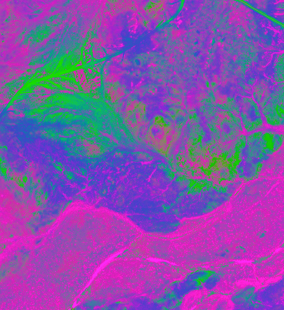
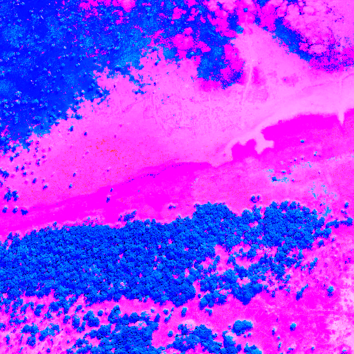
Esper delivers satellite imagery that goes far beyond the surface. From standard RGB to advanced multispectral and hyperspectral data, we provide the spectral depth needed to power precision insights—whether you're monitoring crops, detecting materials, or analysing environmental change.
Our imagery isn’t just high-resolution, it’s high-information. With hyperspectral imagery unlocking hundreds of narrow spectral bands, Esper gives you access to a richer, more detailed view of Earth’s surface than ever before.
You don’t just see what’s happening. With Esper, you understand why.